
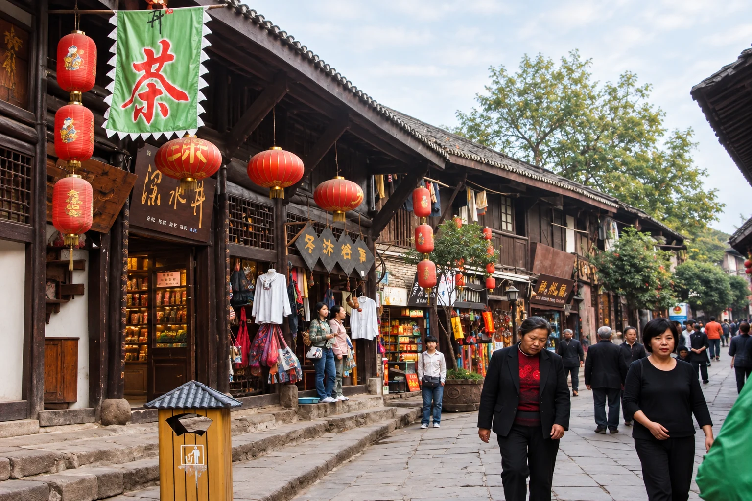
A preserved riverside trading town on the west side of the city, now given over almost entirely to narrow shopping lanes and food stalls.
- Best time
- Morning, Afternoon
- Allow
- 3 hr
- Area
- Shapingba & Ciqikou
ModerateConfirm practical details
Explore
Explore Chongqing's sights with practical notes on walking, timing and nearby stops. Check the route and entrance for your visit: the city's terrain means the order you see things in matters as much as which things you see.
Last updated 2026-10-01 · how we verify
Category
A preserved riverside trading town on the west side of the city, now given over almost entirely to narrow shopping lanes and food stalls.
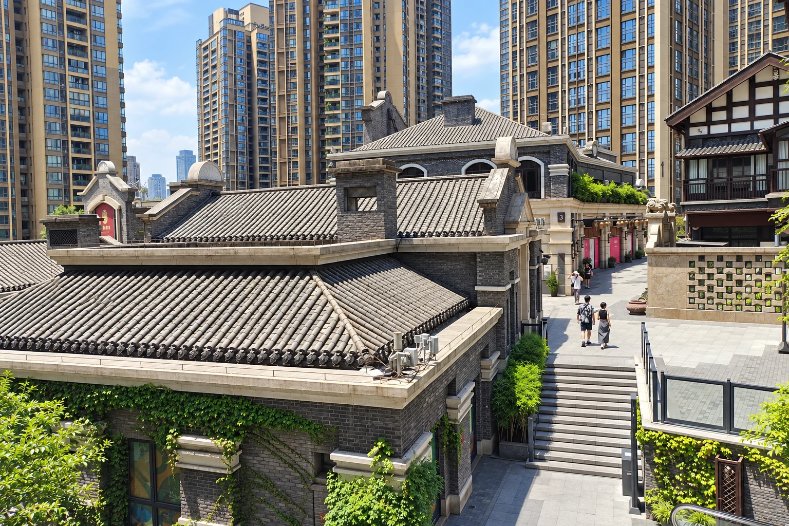
A rebuilt hillside street on the south bank where the two rivers converge, arranged as a stepped run of courtyards above the water.
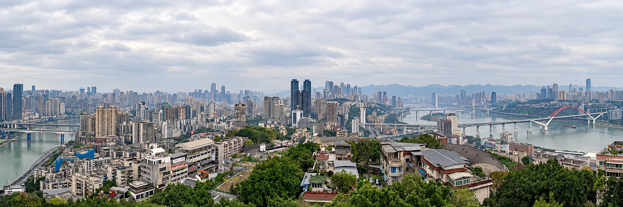
A printing factory converted into a small hillside district of studios, cafes and rooftop terraces, sitting just below Eling Park.
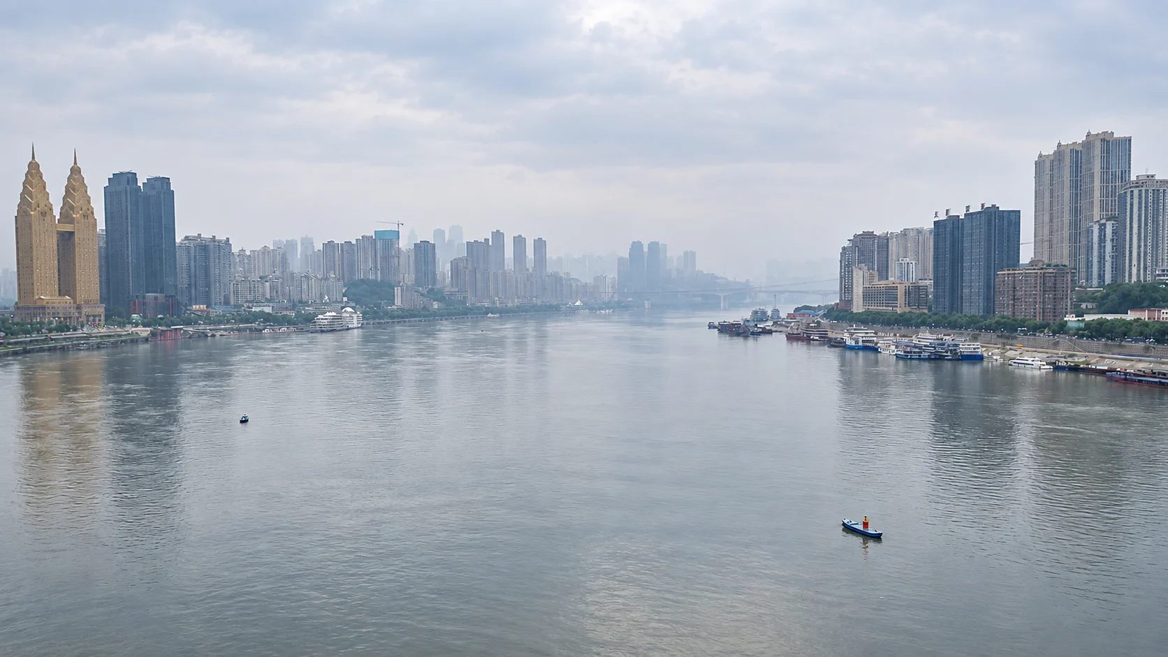
A restored hillside street on the south bank, stepped up from the river with the north-bank skyline directly opposite.
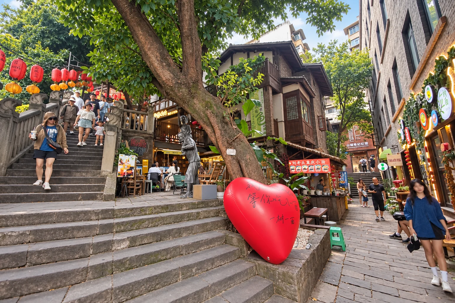
A signed walking route threaded through the old cliff-side lanes of the Yuzhong peninsula, linking neighbourhoods that the roads cannot reach.
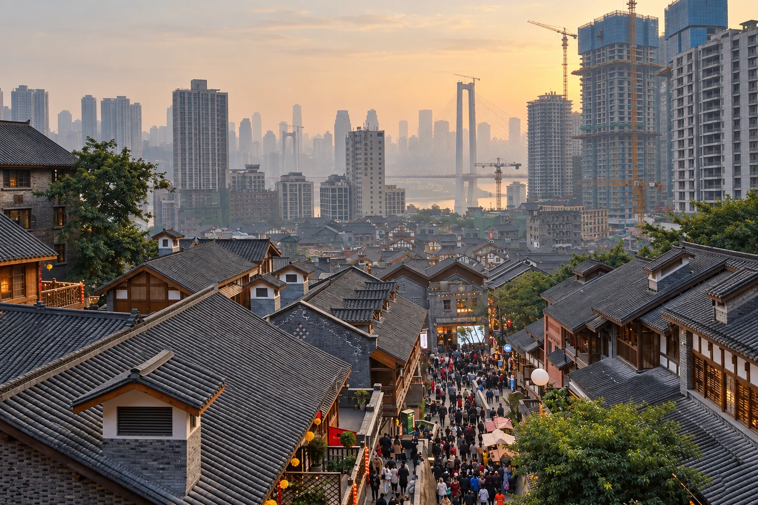
A restored hillside quarter of stepped lanes connecting the upper city to the lower town, rebuilt around the remains of an older neighbourhood.
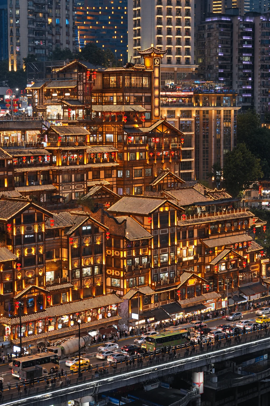
Hongya Cave is a cliffside dining and shopping complex beside the Jialing River. Its upper entrance is on Cangbai Road; the riverside is a different level. Plan the approach and outside view before joining the crowd.
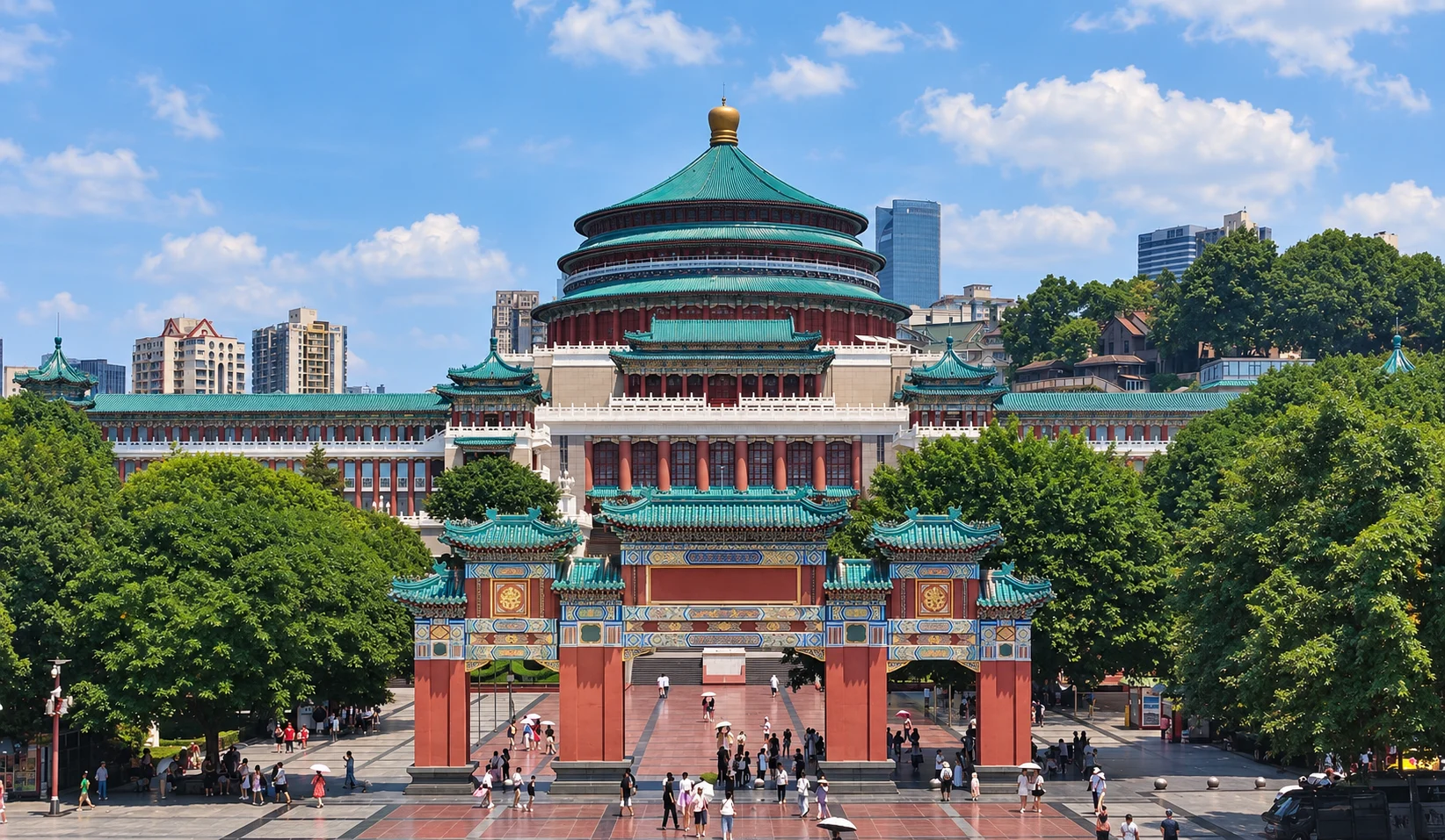
A large mid-century hall with a layered circular roof, sitting on the plaza above the Three Gorges Museum.
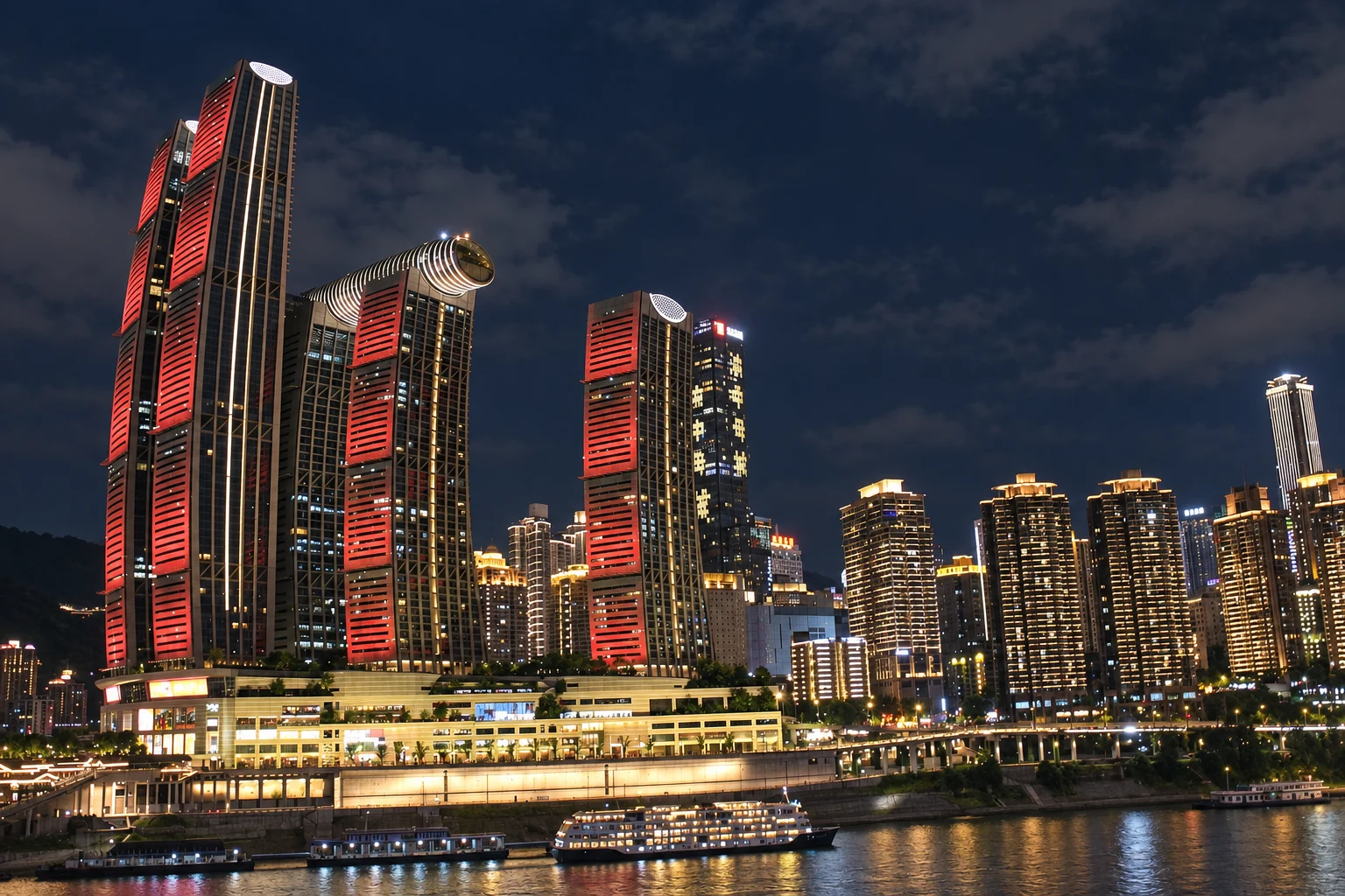
The point where the Jialing meets the Yangtze, marked by a curved tower complex whose skybridge looks down on the confluence.
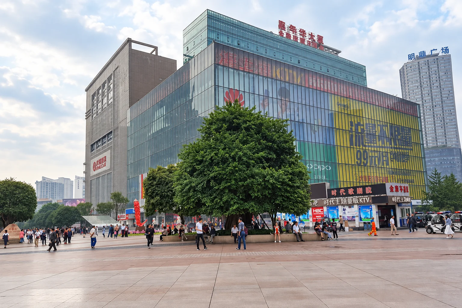
The main commercial and eating district of the north bank, with the city's largest concentration of everyday restaurants and street food.
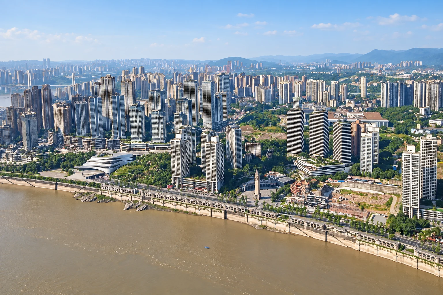
A long riverside promenade on the south bank, lined with restaurants and looking directly back at the north-bank skyline.
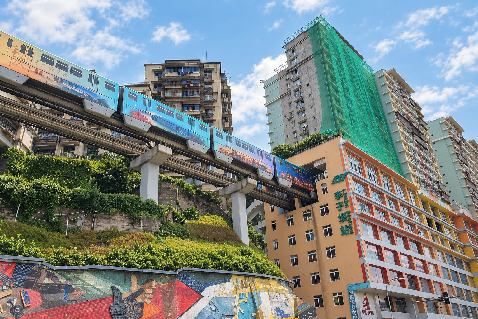
The point where the monorail runs straight through the middle of a residential block, with a viewing platform built to watch it.
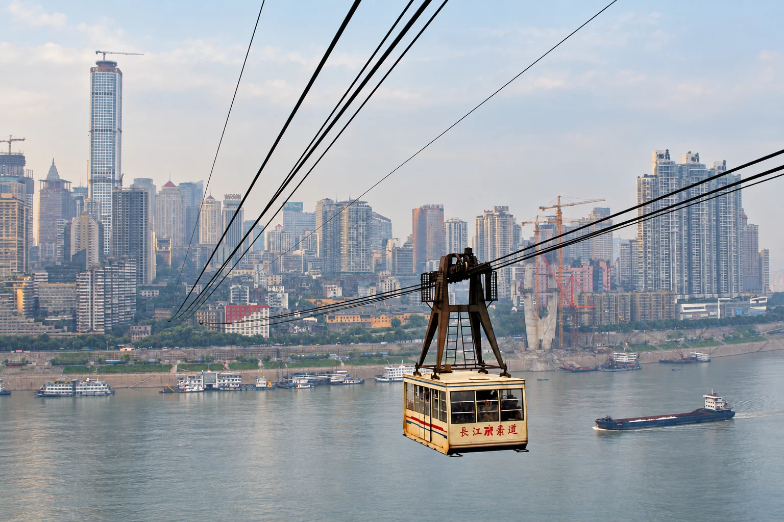
A cable car across the Yangtze that was built as commuter infrastructure and is now mostly a sightseeing ride, with the city opening up beneath you.
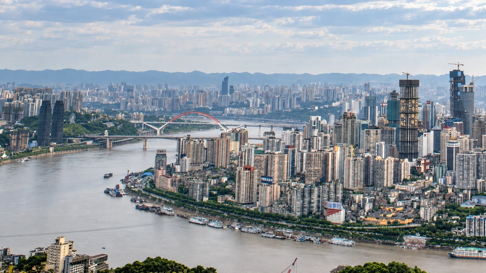
A purpose-built observation terrace high on Nanshan, looking north over the whole peninsula and the river confluence.
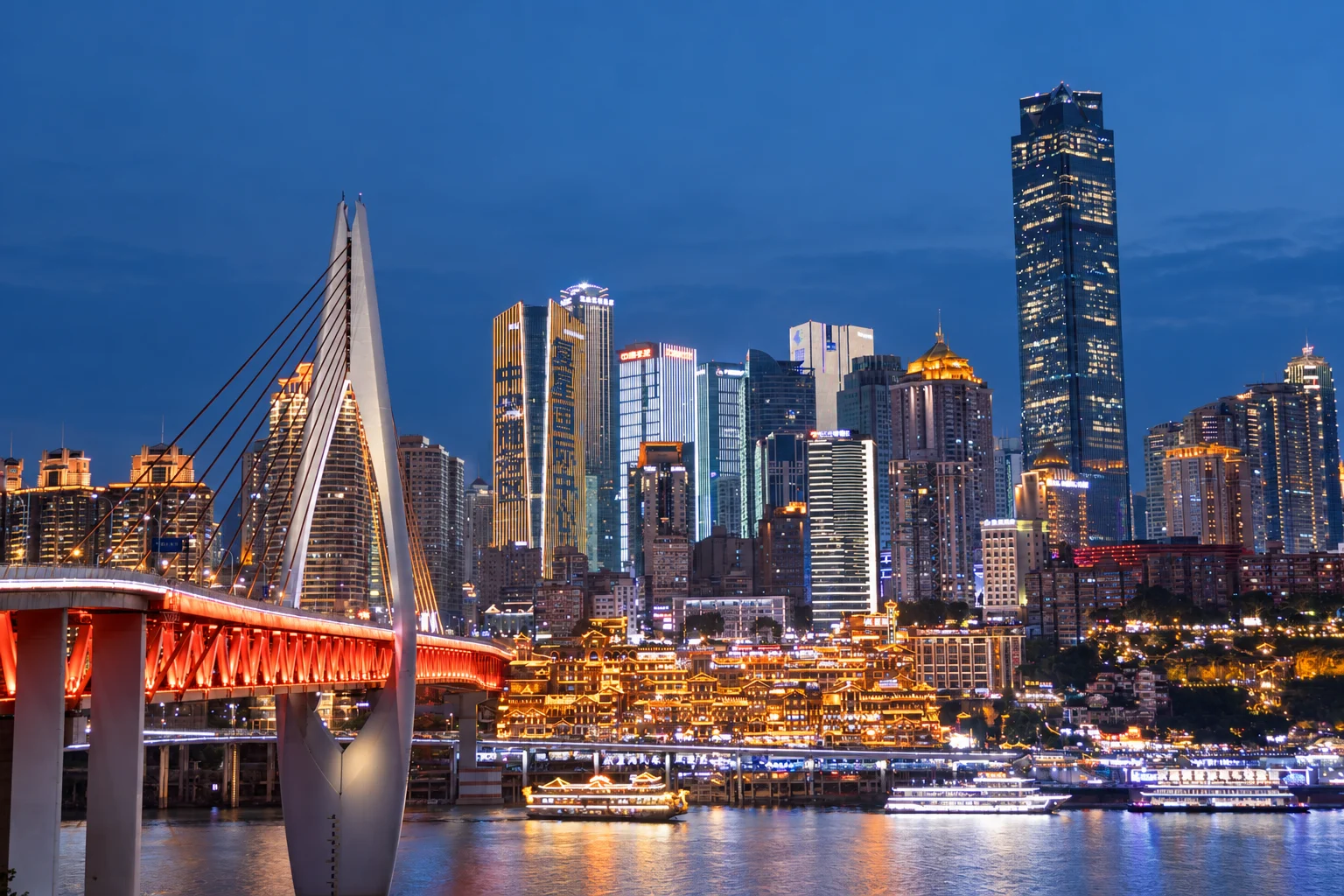
The bridge across the Jialing River between Hongya Cave and Jiangbeizui, with views back toward the cliffside buildings. Check pedestrian access during busy periods.
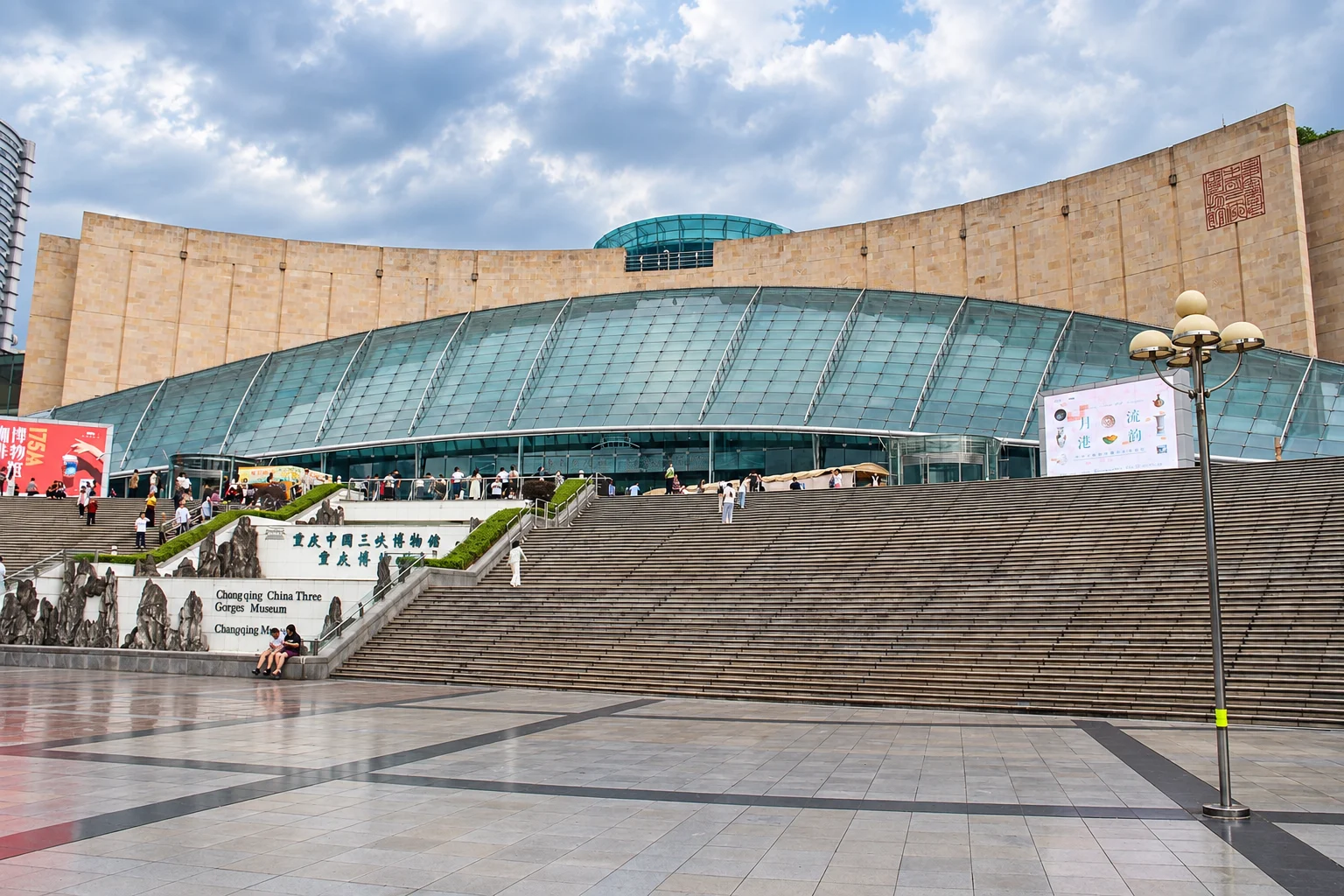
The city's principal museum, covering the Three Gorges, the reservoir project and the regional history that produced Chongqing.
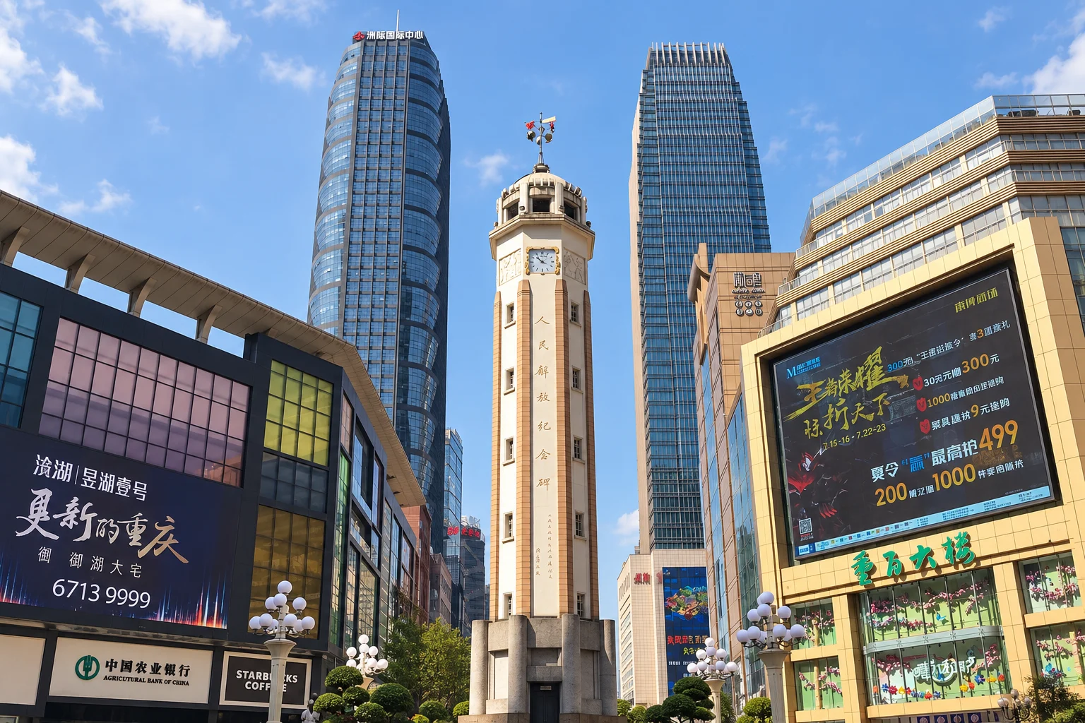
The pedestrian core of Chongqing, arranged around the Liberation Monument, with the densest concentration of shops, food and hotels in the city.
By area
1 place · flatter walking
11 places · uneven terrain
4 places · flatter walking
1 place · flatter walking
Chongqing punishes itineraries that ignore elevation. A day that moves between three places on the same level feels easy; a day that moves between three places at different levels feels like a hike.
The reliable pattern is to start at the highest point in an area, walk down through it, and take a taxi or the metro to a different area rather than climbing back up.
Distance on a map is not a guide to effort. Use the walking labels and terrain notes to compare places, then check the entrances and connections on your route.
The bridges, the stair districts, the river promenades and the plazas are free and are most of what makes the city distinctive.
The paid items — the observation decks, the cableway, the museums — are worth doing but are not what you will remember. Do not build a trip around them.
Make it specific
Browse places, filter by time of day or walking effort, and open directions.
Takes: Category, daypart, walking difficulty, family and rain filters